Our society is becoming increasingly urbanised. It is projected that 74 per cent of the population of Europe will be living in cities by 2050. Public space, whether indoor or outdoor, plays an important role in our spiritual well-being and can facilitate socialisation and support a feeling of security. Ideally, people should be at the heart of urban well-being. Cities and urban living environments should support human health. If a person feels unwell in his or her environment, either consciously or unconsciously, then this has a direct impact on his or her mental and, in the long term, physical health.
The living environment has certain characteristics that can be associated with negative or positive health, such as the effects of noise and vibration, landscaping and greenery, as well as the size of the living environment-residential area or the possibility of choosing between different routes of movement. At the same time, different users may interpret a similar physical space differently, with the same user experiencing it differently on different days or times of the year. There are also differences in the environmental perception of subjects, which depends on their age, environmental attitudes, gender, and disposition. The fact that the daily life of urban residents is often hurried and buried under a flood of information from different sources adds complexity. The mind is often distracted and there is a lack of awareness regarding what urban dwellers actually feel in the surrounding living environment and what impact it has on them.
How does one gather objective feedback in such a situation, which can then be take into account in urban planning? For example, to assess, in as evidence-based a manner as possible, how city residents feel in the city’s main square, in the courtyard of a residential area, or in a park?
Throughout the history of urban planning, planners have tried to shape the living environment based on the well-being of residents, while increasing their level of involvement in the process. The methods for doing this have become increasingly accurate over time, and we now know a great deal more about how the urban space affects human health. However, in practice, cities are often faced with complex spatial planning choices, in the resolution of which the engineering expertise of urban space planners and builders can currently be objectively taken into account, but it is either very difficult or no one knows how to measure the potential impact on the well-being of city residents in these places. In addition, the complexity and politicisation of decision-making processes remains a problem, where decisions are made based on opinions in place of knowledge-based decisions, and residents, once again, have little confidence in politicians and knowledge about how and why certain spatial decisions are made. Inputs are usually collected from people through the use of questionnaires or round-tables; however, their results have often failed to provide new insights into planning. Round-tables are mostly attended by a certain group of active people, who fail to reflect a cross section of the city’s inhabitants, but also because people are often unable to consciously perceive their feelings and clearly imagine the urban space that is still in the planning stage.
One step closer towards more objective urban planning is offered by the FinEst Centre for Smart Cities ‘Urban Planning Well-Being Score for Good Quality Living Environment’ pilot project. The Well-Being Score is an innovative system that initially maps the spatial characteristics of the selected urban space and the psychological and physiological reaction of local residents in the chosen location. Apart from the analysis of the data, an attempt is made to determine why, at first glance, locals perceive public space with similar spatial characteristics differently, and why some places are more popular than others.
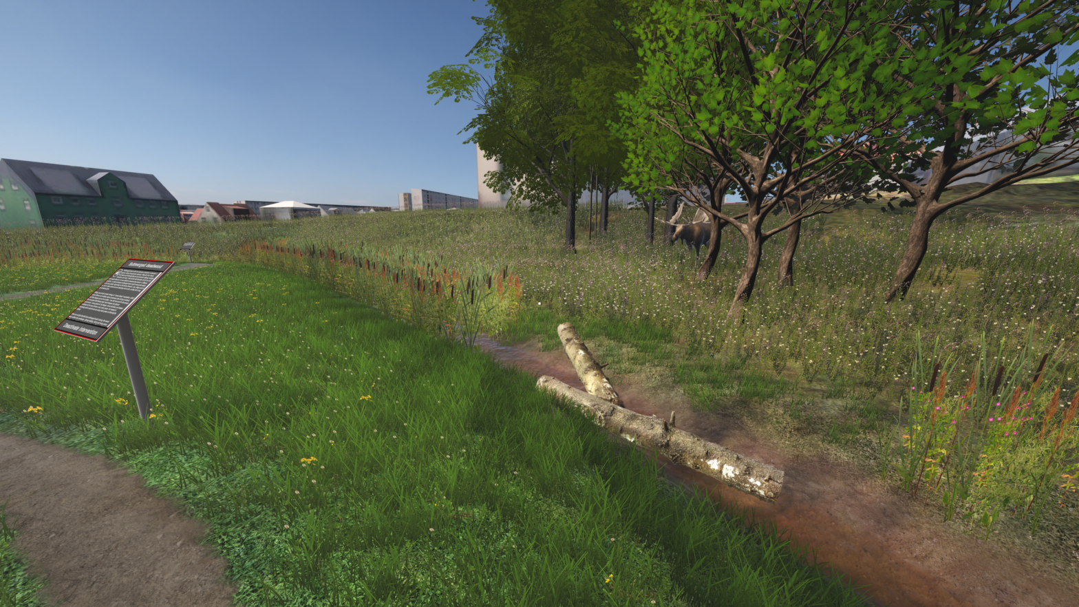
In its current form, the Well-Being Score includes five levels: the natural environment layer, which calculates the proportion of positive landscape elements (e.g. trees, patches of grass and flower beds) and the proportion of negative elements, such as polluting areas and large asphalt covered areas; a constructed environmental layer that assesses street network connectivity, accessibility and time of use of certain locations; a layer of activities that assess the diversity of public amenities and services in the area (playgrounds, sports facilities, etc.) and their proximity to city residents; a psychological layer that assesses the levels of positive and negative emotions of residents in selected locations in the city space, attachment and possibility of mental recovery; and a physiological layer that measures human exposure to spatially determined stress factors based on real-time recorded physiological signals.
The collection of spatial data utilises existing databases and information sources (for example, the Land Board map application). In addition, the cameras located in the urban space are used to perform a mobility analysis. The psychological layer is created by engaging residents on the basis of a psychological questionnaire created especially for this purpose. Physiological signals are collected from residents via sensors that monitor heart activity and respiration, skin temperature and moisture levels, pulse waves in blood vessels and electrical signals from the brain.
The ‘Urban Planning Well-Being Score for Good Quality Living Environment’ pilot project started in January 2022. In February, researchers from the FinEst Centre for Smart Cities in Narva selected specific sites for further study, i.e. measuring the well-being of Narva citizens. In the spring, from 18 April – 12 May 2022, a small-scale survey was conducted in Narva, where the physiological and psychological reactions of 28 urban residents were measured at four points in the public urban space – Peter’s Square, the Joaorg district, the Pähklimäe Street pedestrian area, and the area between buildings on Dauman Street.