News

AI explores the condition and use of bike paths

Bicycle becomes a natural means of mobility in the city when the journey is safe, understandable, and uninterrupted. When a cycle path ends unexpectedly, is too narrow, poorly marked, or forces cyclists into difficult traffic situations, the bicycle remains an occasional choice for many rather than an everyday mode of transport.

Originally published in Estonian on the Trialoog portal: read here.

The problem of inconvenient bike lanes is intended to be solved by the project “Safe and attractive cycling infrastructure”, which was selected as a finalist in the fifth round of the international Smart City Challenge program. The final project proposal preparation is led by Mairo Leier, a senior researcher at the TalTech Department of Computer Systems.

The aim of the project is to create a tool that helps cities assess the safety and quality of cycling infrastructure and decide where existing roads need to be improved or where it would be good to build new connections.

According to Leier, the project originated from the experience of Barcelona’s light traffic company Lane Patrol. The company analyzes the cycling infrastructure of cities through daily practices: cycling paths are ridden, and images, location and other data are collected about the journey. Later, it is reviewed for worn markings, holes, obstacles, dangerous intersections or other problems important to cyclists.

This kind of work gives the city a necessary overview of the situation of pedestrian paths, but it is very time-consuming.

In bigger cities, there are hundreds of kilometers of bike paths, which is why manual analysis is very slow and time-consuming, Leier explained.

The idea of ​​the project is to add artificial intelligence-based analysis to the existing data collection. AI would help identify areas with broken ground, dangerous, poorly marked or in need of repair through image and sensor data. This would give the city a clearer picture of which sections need attention the most.

Our advantage is that we are not starting from scratch. We have the people, the methodology, and the software to start collecting data and automating analytics, says Leier.

Cities will be able to assess bike paths more accurately

In addition to existing deficiencies, it is equally important to assess streets where bike lanes currently do not exist, but where they may be needed.

The pilot cities of the project would be Tallinn, Jõhvi, Tartu, Barcelona, ​​Lviv, Kuldīga and Istanbul. Such variability provides an opportunity to test solutions on different types of problems. According to Leier, in Lviv, the cycling infrastructure is rather discontinuous, which is why it is necessary to look at how to connect individual sections into a whole. In Tartu, the main emphasis is on expanding the existing network. In Istanbul, the work is complicated by narrow streets and a lack of cycling infrastructure.

In addition to the usual indicators, the team also wants to take into account noise, air pollution, traffic flows and other environmental data. A more complex dataset would give the city the opportunity to assess not only the existence of a bike path, but also its comfort, pleasantness and integrity. “The goal is to make the analysis many times faster, because the artificial intelligence can process image and data material dozens of times faster than a human,” Leier confirmed.

According to Leier, when assessing cycling infrastructure, traffic accident data must also be looked at. This will help to better understand which places are dangerous for cyclists and where improving the infrastructure could have the greatest impact.

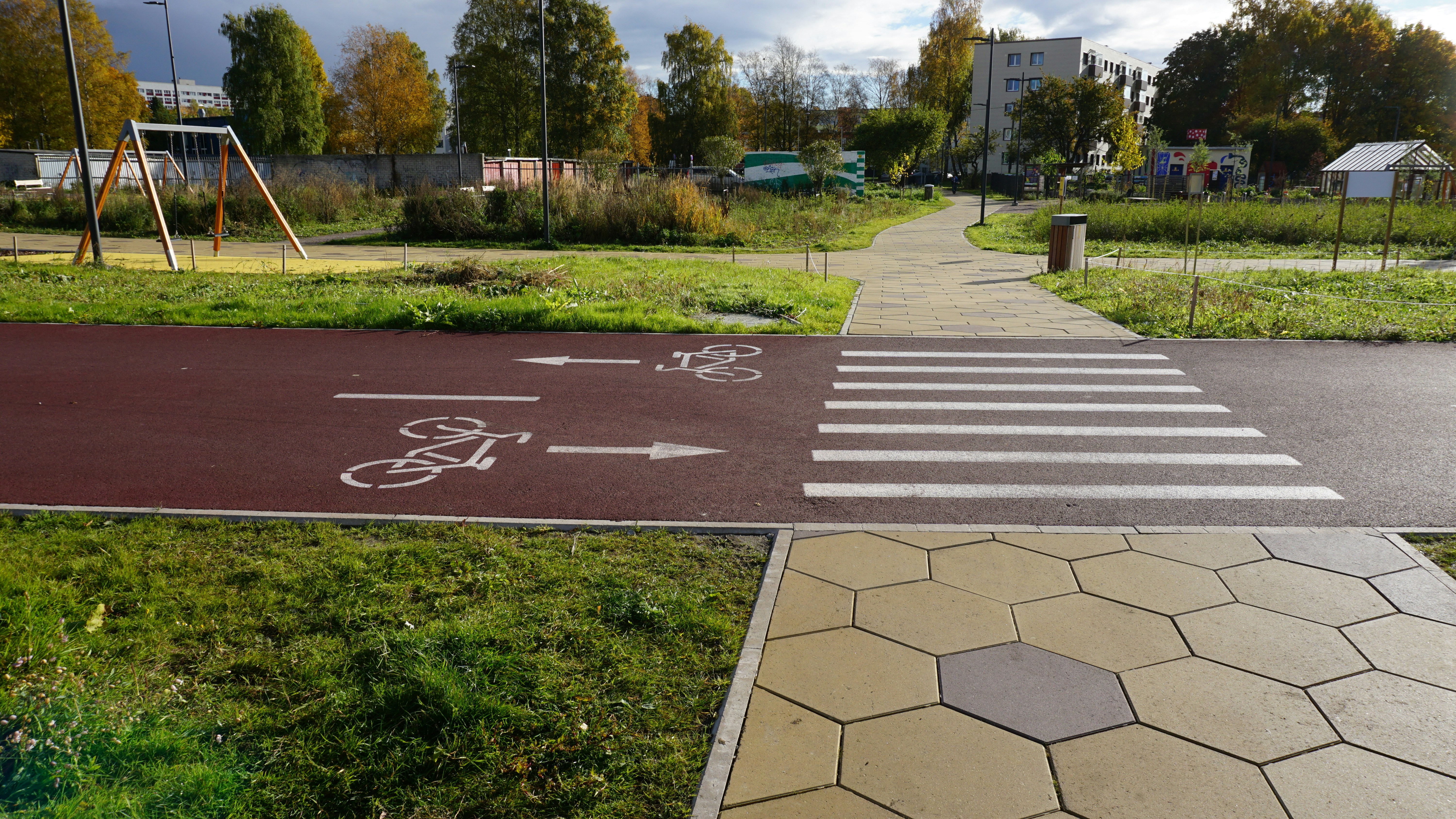
For city residents, better data means, above all, safer and more logical cycling routes.

Safety is affected by road width, visibility, intersections, traffic load, obstacles and connections to other road sections. “It is important that a person can move from one end of the city to the other without the road disappearing in the middle and that it is wide enough,” said Leier.

Piloting planned for various scenarios

During the pilot project, sections of each city will be selected to test different situations: intermittent bike infrastructure, narrow streets, dangerous intersections, new connectivity needs, or the use of additional sensors.

If the tests are successful, the solution could become a practical tool for planning bicycle infrastructure for cities.

The business model and exact usage of the solution still need to be negotiated with the partners. According to Leier, it is too early to say whether the project will grow into a separate service, an additional module for existing software, or some other solution. It is important to first prove that the tool provides cities with more accurate and faster usable information.

From April to August 2026, teams are developing a detailed pilot project together with cities and experts: they create an action plan, budget and real implementation logic.

In the fall, the projects will be finally evaluated and two out of five will be selected to receive support of up to 840,000 euros and reach the pilot project phase. The selected solutions will launch in November 2026 and last until the end of 2028.

Trialoog’s original article: Read in Estonian

Stay informed about our developments, projects and research on smart cities with our bi-monthly newsletter – subscribe now!

Related news